| |
Sydney BOM Rain Radar Images
Discontinued due to a better iPhone app I made :-)
Animated GIFs of the Australian
Bureau of Meteorology 128 and 256
km Sydney Radar
The images are downloaded and the animated versions are created
every ten minutes, starting at four minutes past the hour.
Please note that the time on the images is UTC, which is 10 hours
behind during Australian wintertime and 11 hours behind during
Australian summertime.
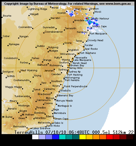
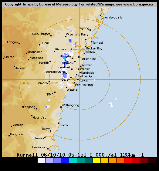
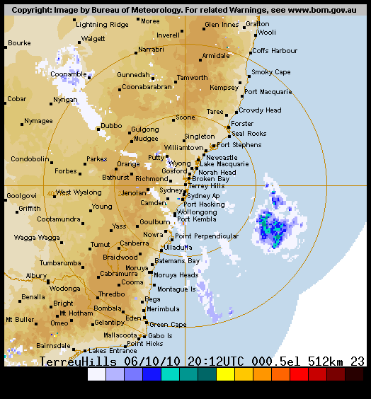
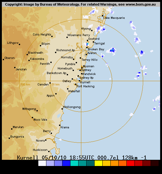
Ranges
- The 128 kilometer radius goes via the coast from Point
Perpendicular, Kiama, Wollongong, Stanwell Park, Sydney Airport,
Sydney, Avalon, Terrigal to Norah Head.
- The 256 kilometer radius goes via the coast from Narooma,
Batemans Bay, Point Perpendicular, Kiama, Wollongong, Stanwell
Park, Sydney Airport, Sydney, Norah Head, Lake Macquarie,
Newcastle up to Williamtown.
Acknowledgements
As stated on the BOM
website, the following acknowledgements should be given:
MTSAT-1R : Satellite image originally processed by the Bureau of
Meteorology from the geostationary satellite MTSAT-1R operated by
the Japan Meteorological Agency.
Do it yourself
It's not realy that difficult. Download this
script, select the right URLs, install wget and gifsicle and
you're on your way!
|
|
|